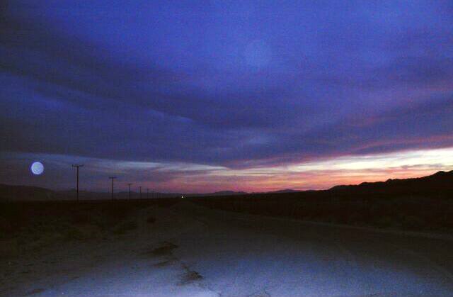
Driving into Death Valley in the sunset and under a full moon.
Driving into Titus Canyon, Death Valley National Park.
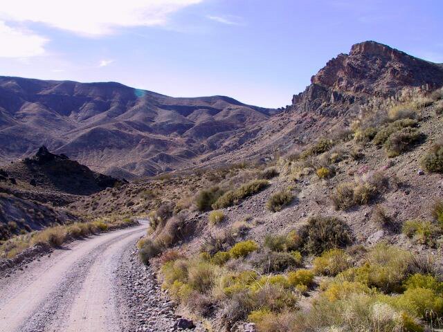
Red Pass, Titus Canyon, Death Valley National Park.
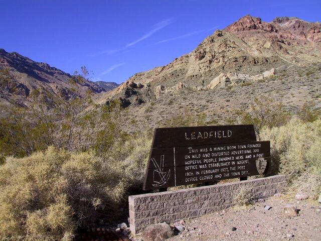
Leadfield ghost town in Titus Canyon, Death Valley National Park.
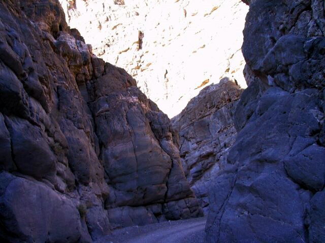
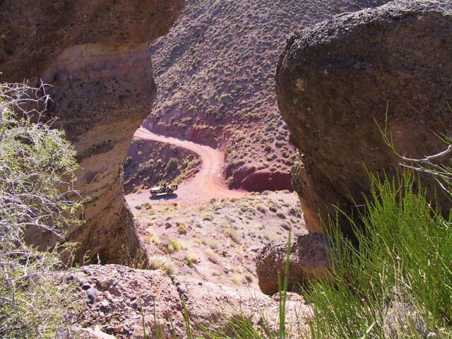
Titus Canyon, Death Valley National Park.
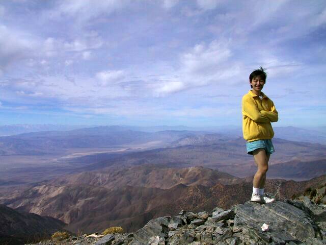
On top of Telescope Peak, 11049 ft (3368 m), the highest peak in Death Valley National Park.
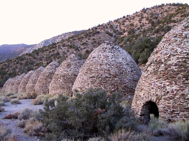
The Wildrose Charcoal Kilns. The Charcoal Kilns (built in 1867) where used to reduce the local Pinion Pine and Juniper tree's to charcoal by a process of slow controlled burning, the charcoal was then used to smelt gold and lead ore in the local mines. After just a few years of use, they where abandoned and left to decay. In the spring of 1971 a team of Navajo Indians from Arizona, repaired the Kilns and they remain to this day in good condition. There are ten Kilns in all, measuring 30-32ft in diameter and 25 feet in height.
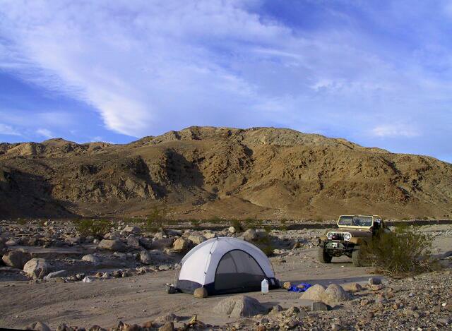
Camping in Cottonwood Canyon or Marble Canyon, Death Valley National Park west.

Devil's Golf Course panorama, Death Valley National Park.

Devil's Golf Course.
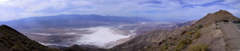
Death Valley from Dante's View 5475 ft.
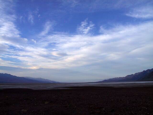
Badwater Basin, Death Valley.

Death Valley: mountains, desert, a jeep, and me.
第一次是三月的春假去的。死谷的地形变化很大,从海拔零下到 11049 ft 的 Telescope Peak。在山下的沙漠里,白天会比较热。我们晚上到山上扎营,不用睡袋,很舒服,但早上九点钟帐篷里就不能呆了。
第二次是十月底去的。晚上住在海拔 8000 ft 的山上,冷得不得了。后来就搬到山下去了。晚上不用睡袋,暖风习习的,很舒服。白天山下极热!
有朋友五月去过一次,连夜开车,清晨到,玩到八点钟就要开车离开,不然会被活活烤焦的。
