June 6-8, 2003
Friday morning around 11:30 I picked up Matt at Ypsilanti. We bought $50 of trip snacks at Kroger's, and had dim sum in the nearby Great Lake Chinese restaurant. It was about 1:40 when we got on the freeway and headed north.
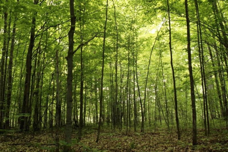
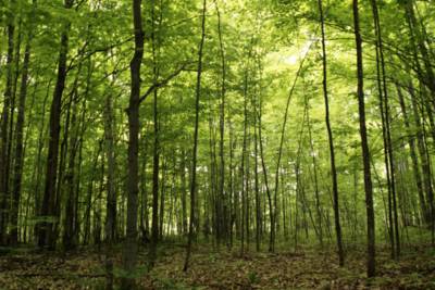
The drive on I-75 was eventless. The highlight was the 45 parallel near Gaylord, where we passed an exact point between the equator and the pole. Got off at Vanderbilt and drove into the Pigeon River Forest where we planned to camp for the night. It was about 5:30. We got some maps at the closed ranger's station. The first campground we passed was very quiet, situated in the woods next to the river. We continued on, hoping the next campground be even prettier. For the next couple of hours we found a few campgrounds, densely populated with people and RVs. If not for the beauty of the woods, we would have regretted too much for not taking the first campground. We were driving on dirt roads, completely surrounded by trees. Sometimes we felt like in a long green tree tunnel. We rolled down the windows, opened the sunroof, smelled the fresh air, and admired the forest. When we went by the river on Webb Road near the Red Bridge we came across a solitary place where a large tent set up, and Matt thought we had to remember the location to come back (so here I am recording it). Eventually we found our own lovely spot to camp.
We set up our tiny tent. Matt collected some fire woods and started a fire. We sat next to the fire and had sandwiches and orange juice for supper. I practiced some flute, which always seemed so natural in the woods. In the meanwhile, Matt explored the area and found a big chunk of wood for sitting. Later we sat next to the fire and hung out for a long time. The fire was very warm. The trees covered us from drizzling rain. Matt beat me in a game of tic-tac-toe, much to my shame. About 11:30 we put out the fire and went into the tent.
At first it was complete darkness. For a moment I was scared, because when I opened my eyes big and wide I could see absolutely nothing. The moon must be very new, the clouds too thick, and the leaves too dense. When our eyes became more sensitive to light, we were transfixed by faint fleeting glows that lit up our tent from outside. Fireflies! A long while later we were able to make out the vague shadows of things and fell to asleep.
Birds were singing outside the tent in the morning. Matt got up early (8:30!) and went out for a walk while I slept for another hour. When I got out of the tent, the woods were so adorable. We left the campground about 10 and drove towards the Pictured Rocks National Lakeshore in the Upper Peninsula (UP).

a small blue tent in the morning woods
Open sky, yet cloudy and raining. We drove over the long Mackinac bridge and was in UP. At the welcome center we collected a bunch of "reading materials" and maps (including a Best Western sponsored state map), and headed west on the coastal highway 2. On our left was Lake Michigan; on our right were forests. Signs of state campground dotted the roadside. There were very few cars. We turned north on highway 77 and went to Seney National Wildlife Refuge.
There was a 7-mile interpretive drive in the Refuge. We got on, hoping to get off on the other side through the swampy marshes, but the road took us back to highway 77. The drive in the quiet wetland was pleasant. In the swamp we saw many swans, geese, ducks, and other birds in the ponds, leisurely doing their own things. Some areas were burnt before.
We joined back to the main highway 28 towards Munising, and got gas and tea at a gas station. Missed a turn leading to some waterfalls on the way, stopped by the visitor center (to get my national park passport stamp), and when we entered Pictured Rock National Lakeshore, it was afternoon already. We did a short family hike at Miners Falls. The trail was immersed in dense woods. Matt found out that these were second growth woods, so they were old. At the end of this trail, we came to a spectacular waterfall, the largest one in the park. We heard birds and squirrels up in the trees. When we looked around, we saw just the woods.
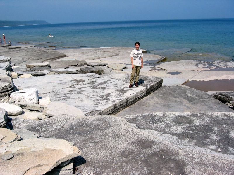
We stopped by the Miners Castle area, overlooking the cliffs, high above the lake. Lake Superior is the largest of the great lakes, and it looked like an ocean. Down below on the beach some people were doing beach activities. But the weather was too chilly and we were too hungry that we didn't continue our exploration in the park. We went to Munising for cheese burgers.
Like every town we passed on this trip, Munising had more bars than other business, and more American flags of various sizes than all the people and cars in sight. During this trip to northern Michigan, everywhere we saw pretty little houses decorated with flags, even in the deepest of the woods. I remembered a news story when I first moved to this state about a Michigan man putting up a flag so large that kept his neighbor awake at night. Seems Michigan people are obsessed with displaying patriotism. The whole trip we only saw one library and no bookstore. And bad coffee at the gas stations for Matt.
The burger restaurant was approved by AAA, and was voted the best restaurant by the snowmobile community. Several people were sitting at the bar staring blankly into the television. We had coffee and burgers, discussed the afternoon plan, and decided to skip the rest of the Pictured Rocks and head towards Paradise.
The road 58 was in construction, so we had to take a detour parallel to the lake shore. We drove on the dirt road for a couple of hours, passing fresh woods, dense forests, lazy swamps, logged out areas (ugly and sad), and scattered settlements. The weather was growing cloudier and darker. We passed Tahouamenon Falls State Park on the way, planning to return the next day for hiking. By the time we arrived at Paradise, it was after 7. Paradise is a resort town, but inescapably depressing (more so than Hell, probably because the day we went to Hell was at least sunny), and the motels were expensive and full of mosquitos, so we decided to drive south towards St Ignace.
It was a very lovely drive on the wide, straight, open highway 123 through the Hiawatha National Forest. The types of trees changed as we drove on, so it was always refreshing to look out and to take in all we could see.
At St Ignace, we registered to a cheap, flag-saturated motel by the lake. A short drive to downtown hoping to find some non-casino entertainment failed us. We counted 39 motels on the two-mile strip. Crossed the big bridge to Mackinaw City and still couldn’t to find a place for ice cream and beer. There were only motels, gas stations, and stores for fudge. It was after 10. At a gas station we got what we wanted and went back to our motel. Matt watched news.
In the morning Matt went out to look for coffee. When he came back from his walk by the lake, he was wet. He told me of the dense fog, of how he couldn’t see anything beyond 20 feet. Later we had real coffee and breakfast at Java Joe's, a warm, popular, and cozy coffee shop on the strip. Java Joe was a very cheery man who drove a pink Cadillac. The Ojibwa museum was not open yet, so we went to the bridge area for some rainy day sightseeing. The bridge was too long, or the lake too misty, that we could not see even half of the bridge. This is one of the longest suspension bridges in the world. When we first crossed it, it took us more than 7 minutes driving at 40 mph. A sea bird (or a lake bird) sat on my car and left some white stuff there.
We stopped at the "Father Marquette Memorial" and were the only ones in the park. We learned about the missionary work of Marquette in the 1670s and the interaction between the French and the native people. Matt was of course unhappy with the way history was interpreted, or with history in general. We drove along the shore for a while, saw some people fishing, and went back to town. Ojibwa museum just opened.
Ojibwa was the native American tribe that lived in this area before the European came. There was a giant house on the yard of the museum, but a real house could be a few times as large, reaching 120 feet in length. The house was all made of trunks, branches, and leaves from trees. The museum was rather small. We watched a video on a detailed documentary about the Indian craft of making a canoe. Simply FASCINATING!
It was already after noon. We decided to drive towards home slowly, through the forests of northern Michigan. We followed the coastal highway 23 for a while and turned inland at Cheboygan, entering the Mackinaw State Forests. The woods were dense and lovely, and we saw a gaggle of wild turkey crossing the dirt road, third time during this trip. For a while we lost our location on the detailed Michigan map, but eventually we found out that we were in the Black Mountain. The whole afternoon we drove through small villages and towns, farms and ranches, woods and forests, rivers and lakes, and scenic viewpoints, through parts of Mackinaw State Forest, Huron National Forest, and Au Sable State Forest. Northern Michigan was unpopulated, and all the towns were poor and depressing. Almost everything had a "For Sale" sign on it. My heart was filled with mixed feelings. Names of some towns passed on the way until we got back on highway 23: Onaway, Atlanta, Comins, Fairview, McKinley, Glennie, Hale, Whittermore, Twining. One township was named "Loud".
The radio was broadcasting warnings of storms to several counties we were about to pass, so I was very excited. Near Bay City, a big scary rain storm hit us, and many cars stopped by the roadside to wait. We slowly continued on and got back to I-75. By the time we came back to Ann Arbor, the storm was over. It was 7:30. We had driven 900 miles in two and half days. The weather was so sunny, the sky was so clear, and the air was so fresh, that I felt like going out for a drive.