Sunset at Georgian Bay, Tobermory, Ontario, Canada.

Georgian Bay at sunset, Tobermory, Ontario.

Tree by Tobermory Harbour, Upper Bruce Peninsula, Ontario, Canada.
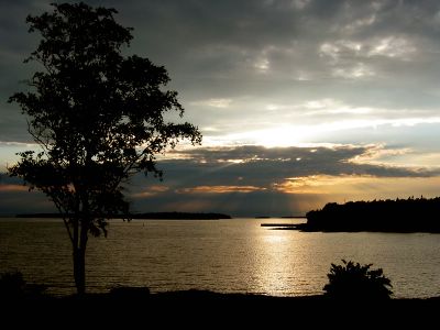
Sunset at Georgian Bay, Tobermory, Ontario, Canada.
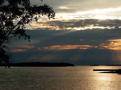
Sunset at Georgian Bay, Tobermory, Ontario, Canada.

Sunset at Georgian Bay, Tobermory, Ontario, Canada.

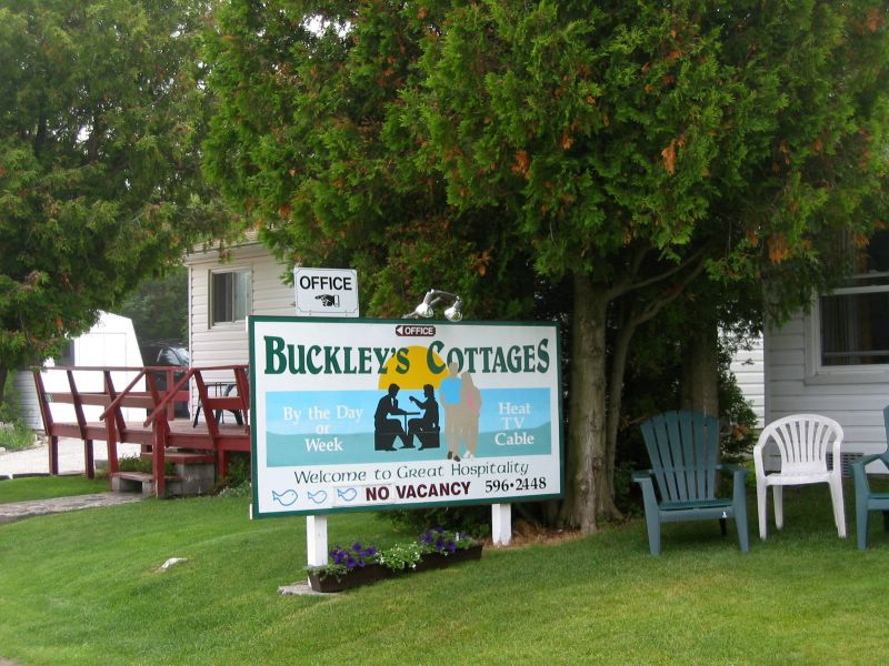
Buckley's Waterfront Cottage, Tobermory, Ontario.

Big Tub Lighthouse in Tobermory (between Lake Huron and Georgian Bay).

Shipwrek in the Fathom Five National Marine Park. This park consists of 20 islands and part of the lake bottom and waters of Lake Huron and Georgian Bay.

Small Flowerpot on Flowerpot Island in the Fathom Five National Marine Park. Notice the thicker layer of rock capping the flowerpots. When lake levels were at that height, the cap rock resisted erosion but the surrounding rock did not. As lake levels dropped, erosion ate away lower and lower, like the action of a lathe. Now the two sea stacks stand 12 meters and 7 meaters high and are well separated from the present day cliff faces.
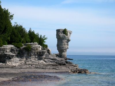
Large Flowerpot on Flowerpot Island.

Flowerpot Island.

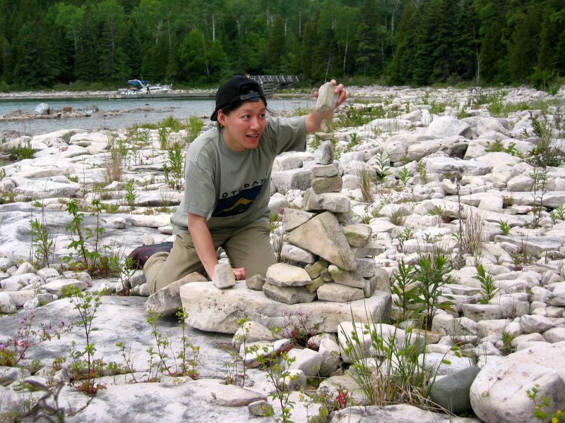
Hiking trail on Flowerpot Island.

Beachy Cove of Flowerpot Island, waiting for the ferry (but still missed it!).

Flower after rain in Bruce Peninsula National Park. Part of the trail is on the Bruce Trail, a world-renowned footpath that offers the opportunity to explore the Niagara Escarpment.

The Natural Arch on Georgian Bay-Marr Lake Trail. This arch and the nearby Grotto were carved into the dolomite cliffs by wave action.

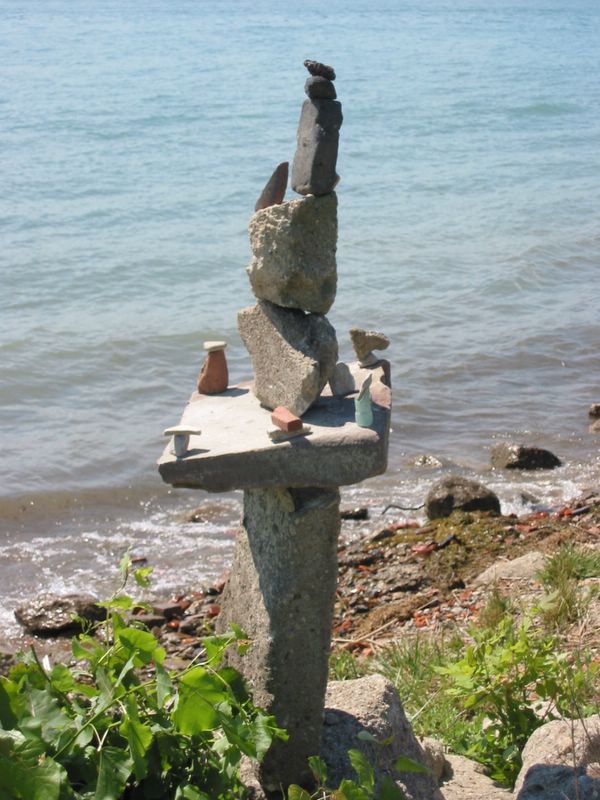
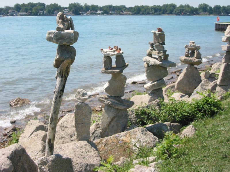
Piles of rocks on the shoreline near Indian Head Cove. Looking out across Georgian Bay, the first part of the Great Lakes seen by Europeans. In 1615 Samuel de Champlain arrived at the mouth of the French River, about 80 km across the Bay from Indian Head Cove. Astounded that such a big body of water wasn't salty, he named it La Mer Douce: The Sweetwater Sea. It was given its present name in 1822 to honour King George IV. The Bay is approximately 241x80 km, almost as large as Lake Ontario.

Water, rocks, and shells.

Hiking on the trail in Bruce Peninsula National Park by Marr Lake.

Sunset at Georgian Bay, Tobermory, Ontario, Canada.