
This is a photo of the Saab, from the window and porch of Josh's cabin in the Pike National Forest in Colorado.

Leaving Los Angeles in the afternoon, the desert of Nevada before reaching Las Vegas.
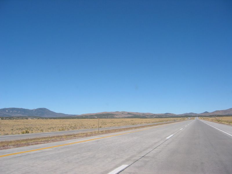
Day 2 late morning, leaving Beaver, Utah, going north on I-15 before turning east on I-70. According to the map, this section is "Black Rock Desert" and "mineral Mountains".

Turning from I-15 onto east bound I-70, this is somewhere near "Fishlake National Forest".

Sweeping landscape of Utah. I decided to take a detour on Hwy 24 (parallel to I-70) towards Capitol Reef National Park.

Landscape near Capitol Reef National Forest, from Hwy 24.

I stopped the car and took this roadside photo in Capitol Reef National Park, by Highway 24.

Another roadside wonder--Petroglyph in Capitol Reef National Park, Hwy 24.

The petroglyph rock in Capitol Reef National Park, roadside of Hwy 24, Utah.

Leaving Capitol Reef National Park, continue on scenic Hwy 24 toward I-70, I came across this interesting landscape.
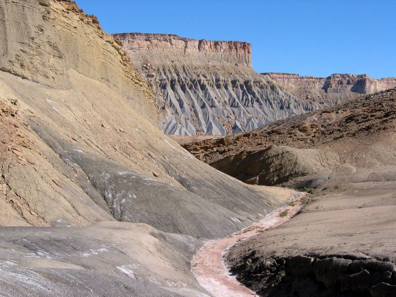
I stopped the car and took a picture of this interesting landscape, by Hwy 24, Utah.
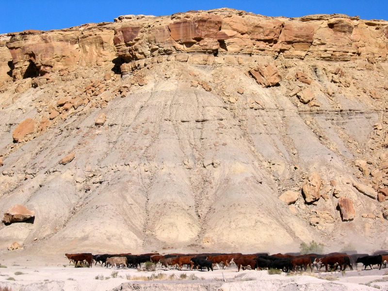
Cattles in the desert, by Hwy 24, Utah. This is San Rafael Reef on the map.

Another Utah landscape by Highway 24 near I-70. San Rafael Reef area.

Interstate 70, between Utah and Colorado.

Entering Colorado on interstate highway 70. I took this photo of the almost-full moon out of the Saab sunroof, using with my Canon Powershot S40 point-and-shoot digital camera while driving 75+ mph. Amazing it turned out recognizable!
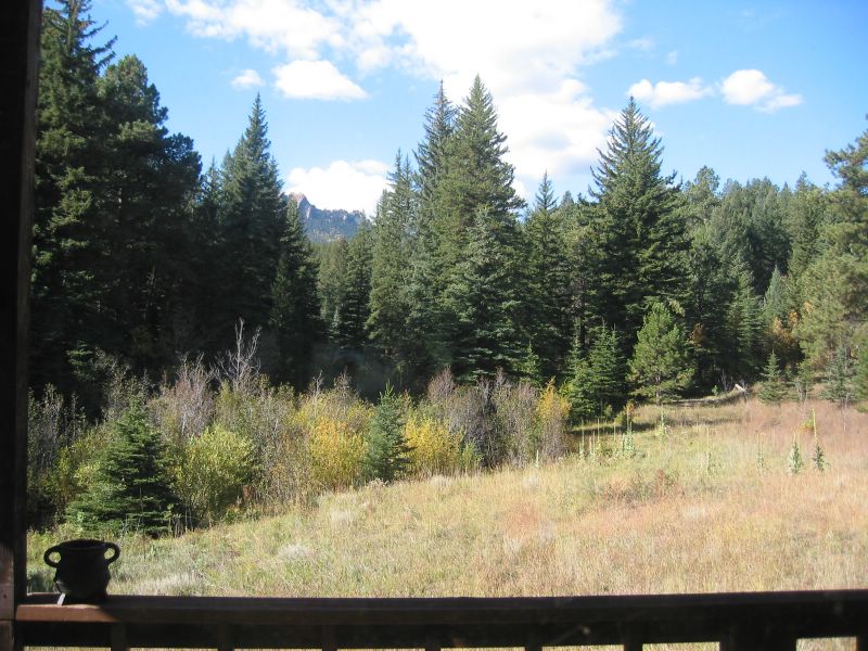
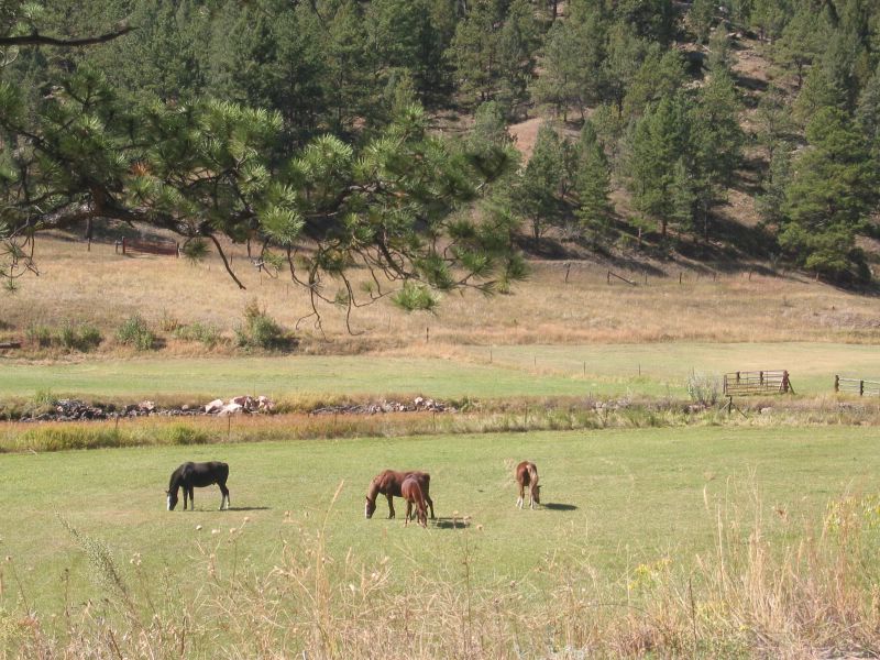
Looking out from Josh's cabin window in Pike National Forest near Buffalo Creek, beautiful of Colorado.

Josh's cabin in the Pike National Forest near Buffalo Creek, Colorado. Isolated, quiet, and utterly beautiful. Josh was applying to become a cop.

Coming out of Josh's Colorado cabin, one has to go down this dirt road 126. The colors of the fall is glittering under the sun.

From 126, I got on Highway 285 going down the mountain toward Denver. This area of the forest was on fire a couple of years ago.
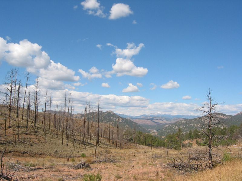
From Highway 285 looking down a Colorado valley. In the distance there are snow-covered peaks, some fourteeners.
Colorado (from Highway 285).

After Denver, all is flat and straight now. Interstate highway 70 east bound, the section between Colorado and Kansas.

Beautiful Kansas early afternoon. Interstate 70.
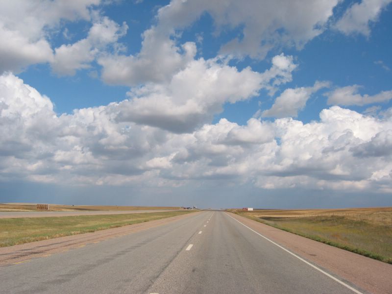
I-70 Kansas, one hour later. Only the clouds had changed.

This photo of the setting sun was taken on the highway I-70 in Kansas (still!), through the sunroof of a fast moving Saab, using Canon Powershot s40.

Kansas and Missouri were one of the last 10 states I hadn't visited in the US. I had to take a detour through these two states on my way back to Michigan. Here's the proof that I had been to Missouri. :)
After Missouri, I went through Indiana and back to Michigan. The weather was not good so I did not take any more photos....

No comments:
Post a Comment